Sapa & the Northern Highlands
Published on January 04, 2026
Sapa town itself sits at 1,600 metres above sea level, draped in cloud for much of the year and genuinely cold from October through March. The town has grown fast — perhaps too fast — but step twenty minutes beyond its centre and the silence returns, broken only by cowbells and the distant sound of water moving through irrigation channels carved into the hillside.
The terraces in rice season
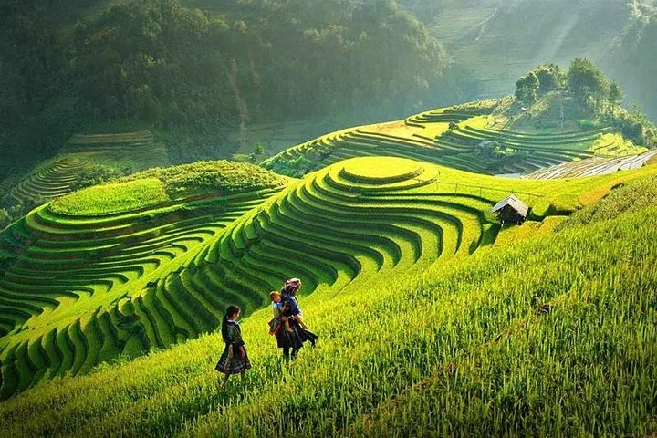
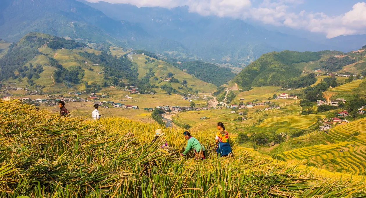
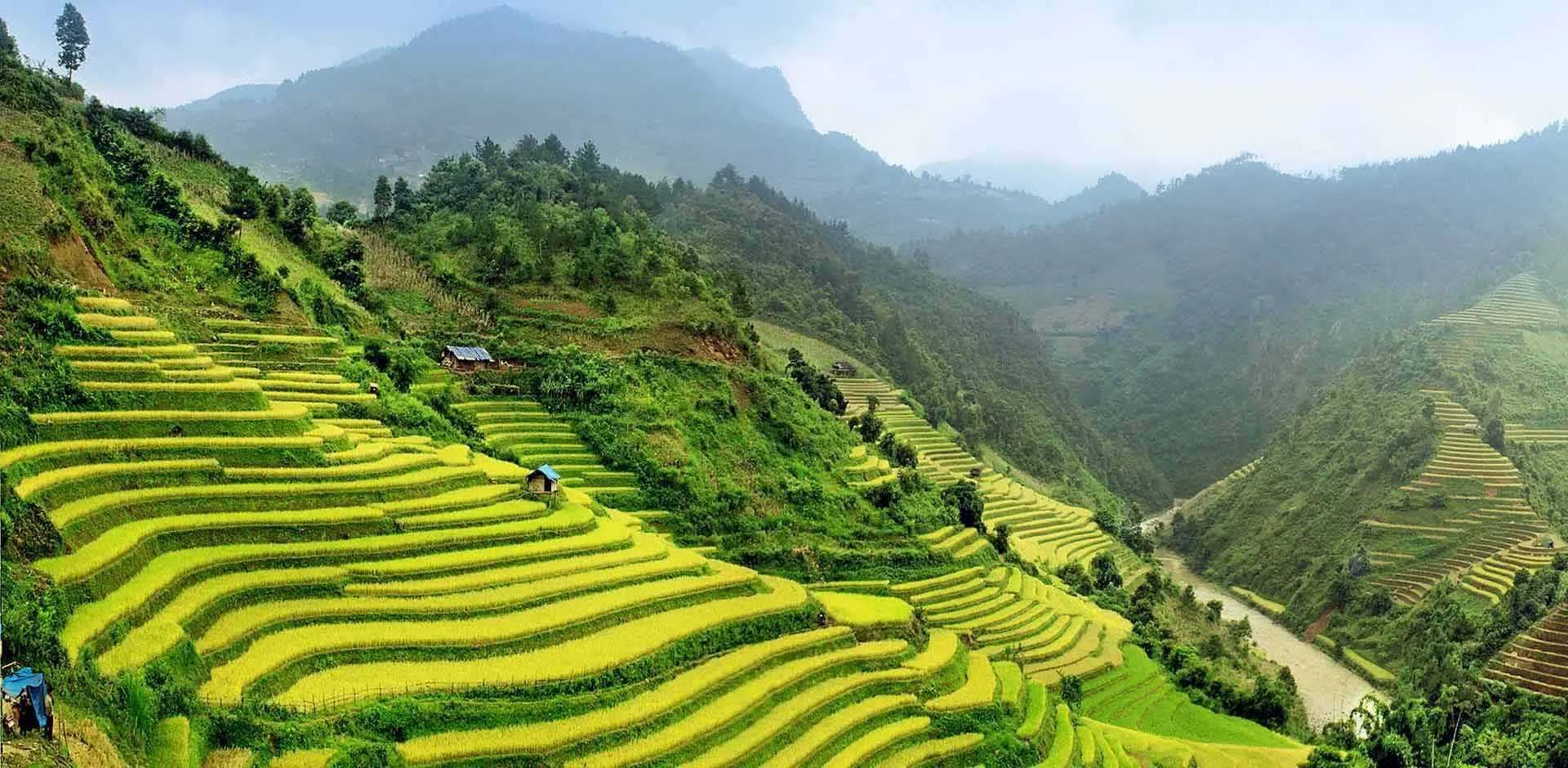
Timing matters enormously in the highlands. Come in June or July and the paddies are a deep, almost violent green — the newly planted rice catching every drop of light. Return in September or October and the same terraces have turned gold, an ocean of warmth rippling down to Muong Hoa Valley. Both are extraordinary. Neither photograph does either justice.
"The terraces were built by hand, generation by generation — some families say their ancestors have been farming the same slope for twenty generations."
The villages scattered through the valley — Ta Van, Lao Chai, Ban Ho — are where the real texture of highland life reveals itself. Children walk barefoot on paths their grandparents cut. Women weave indigo-dyed fabric in doorways. Markets happen not on days of the week but according to a lunar cycle that has nothing to do with modernity.
Bắc Hà Sunday Market
Colourful hill-tribe trading
Fansipan, 3,143 m
Roof of Indochina
Climbing Fansipan — or not
At 3,143 metres, Fansipan is the highest peak in Indochina — Vietnam, Laos, and Cambodia combined. The cable car from Sapa town whisks you to the summit in twelve minutes, which has divided opinion. Purists bristle. Pragmatists rejoice. Both are correct, in their own way.
If you want the real thing — the two- or three-day scramble through bamboo forest, cloud forest, and alpine scrub — hire a guide from the Son La or Lao Cai forestry offices and do it properly. The summit views, when the clouds break, are genuinely life-altering. If you have less time (or less altitude tolerance), the gondola at least puts you in the same air, and the temple complex near the peak is worth the trip regardless of how you arrived.
Ha Giang: the road at the edge of the world
Four hours east of Sapa — though "hours" loses meaning on mountain roads — Ha Giang province is where Vietnam stops pretending to be tame. The Ma Pi Leng Pass drops 1,600 metres into the Nho Que River gorge, a thread of impossible turquoise far below. The Dong Van Karst Plateau, a UNESCO Global Geopark, feels like a landscape from another epoch: limestone pinnacles, ancient H'mong villages, and a pace of life that hasn't been disrupted by tourism because most tourists still haven't found it.
"Ma Pi Leng is not a road so much as a declaration — Vietnam at its most rugged, its most beautiful, its most itself."
The standard Ha Giang loop takes three to four days by motorbike. You can rent one in Ha Giang town, hire an Easy Rider guide (strongly recommended for first-timers), or join a small group. Whichever you choose: go slowly, stop often, and resist the urge to film everything. Some of it needs to simply be experienced.